Coastal Intelligence from Maine to Texas
AI-powered forecasts, real-time ocean data, and a fishing community that never sleeps


Weather Intelligence
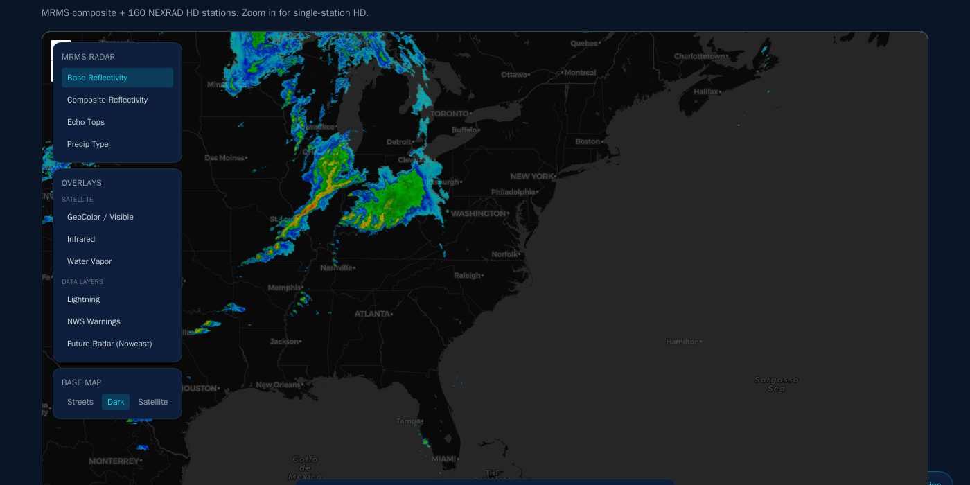
It's 4 AM. You're standing in the driveway with a thermos, deciding whether to make the run. SkeeterCast already knows. City-level forecasts powered by machine learning give you the confidence to go -- or the wisdom to wait.
- City forecasts for 25,000+ zip codes
- NEXRAD HD radar with 160 stations
- Satellite imagery and severe weather alerts
- Nowcast predictions updated every few minutes
Ocean & Fishing Data
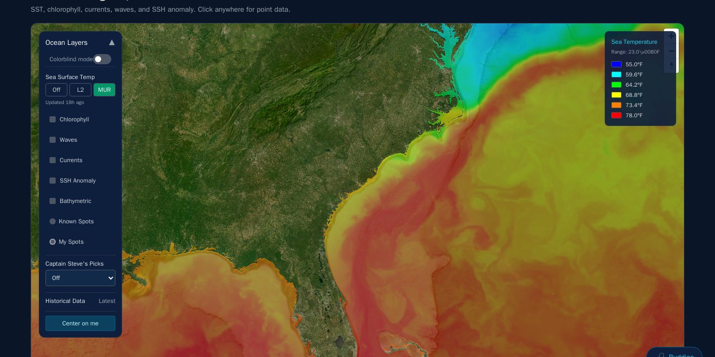
You found the temperature break at 5 AM -- a 4-degree wall sitting 22 miles out. The chlorophyll bloom is stacking bait right on it, and the current is pushing everything northeast. That's not luck. That's SkeeterCast.
- Sea surface temperature maps
- Chlorophyll concentration overlays
- Ocean currents and SSH anomaly
- Wave forecasts for offshore planning
Captain Steve AI
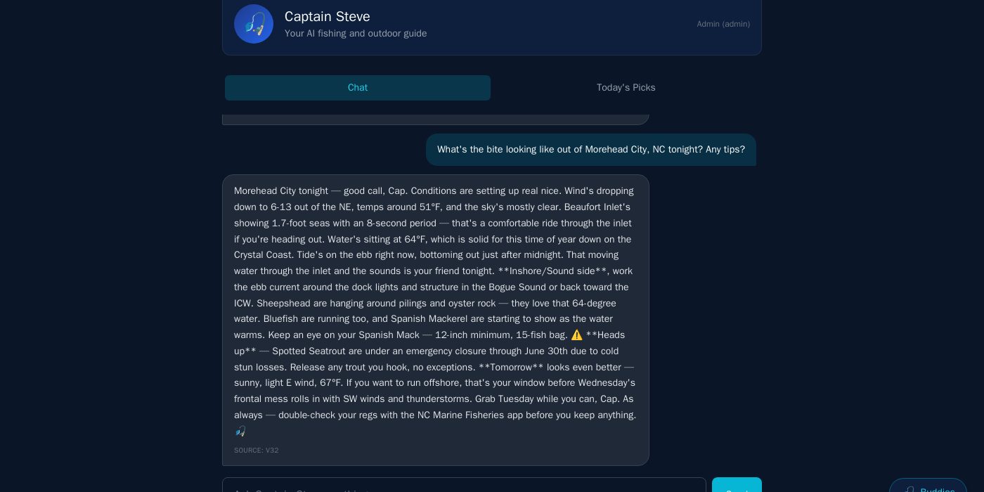
Meet Captain Steve -- your AI fishing guide who never sleeps. He analyzes weather, water temps, tides, moon phase, and historical catch data to tell you exactly what's biting, where, and when.
- Daily picks customized by location
- Species scoring and optimal strike times
- AI chat for real-time fishing questions
- Voice forecasts for hands-free listening
Inshore & Navigation
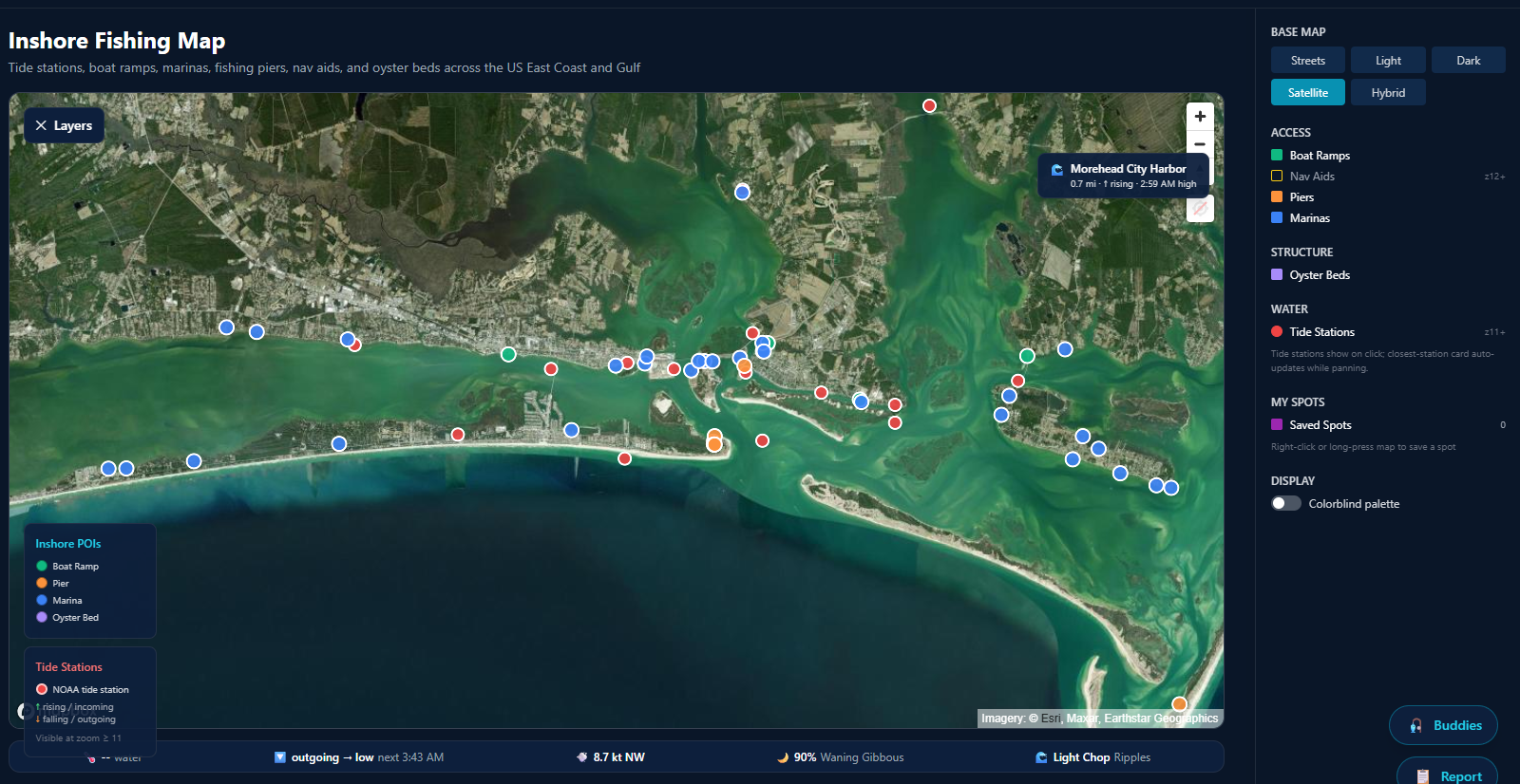
You navigate the ICW with confidence because SkeeterCast mapped every oyster bar, shoal, and reef in your path. Real bathymetry from NOAA and USACE surveys -- not crowdsourced guesses.
- 2,308 reefs mapped with full bathymetry
- Bathymetry tiles for inshore navigation
- Inlet conditions and tide phases
- USACE channel surveys with depth data
Fishing Community
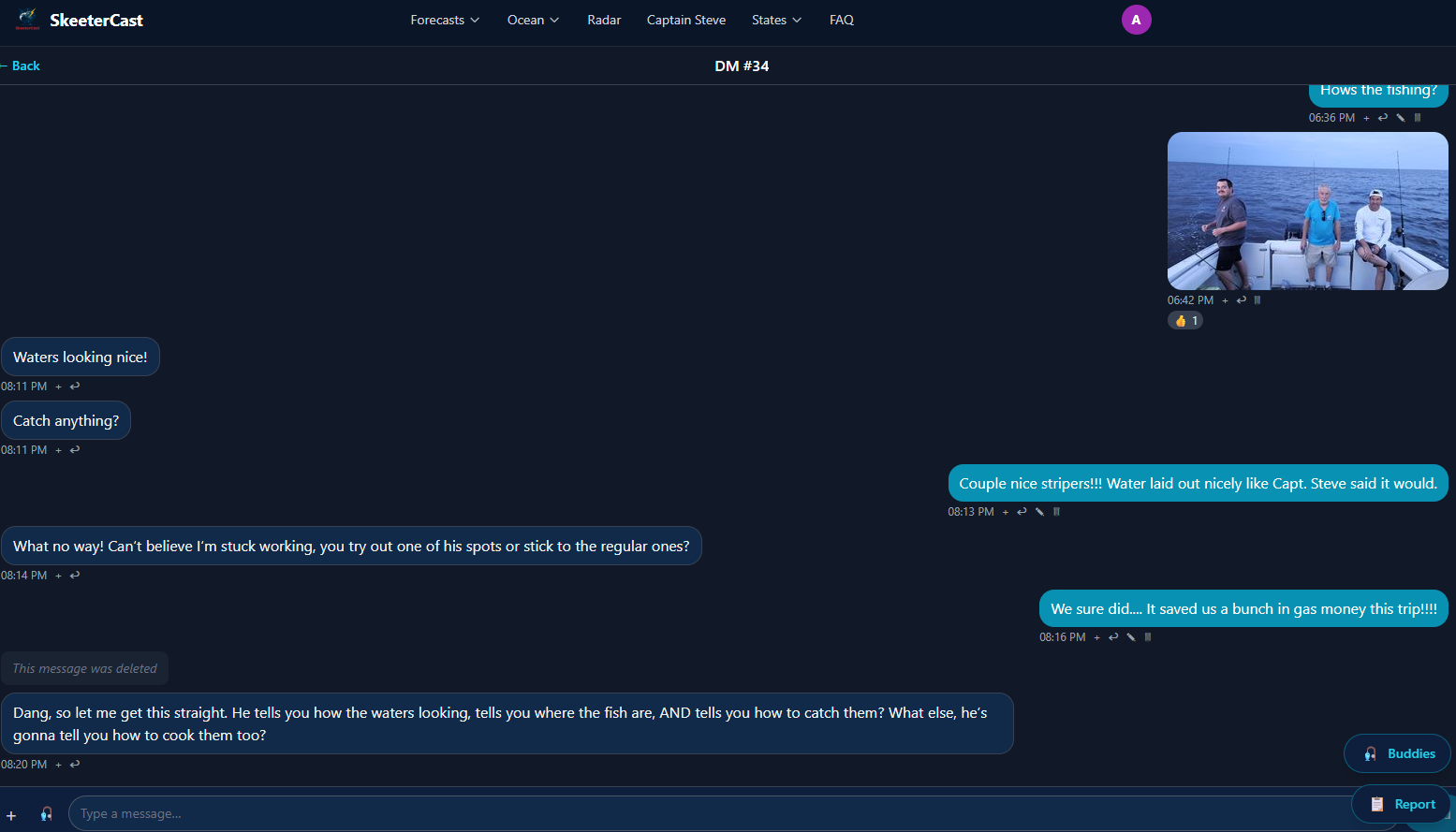
Your buddy just dropped a pin on a school of redfish tailing in the flats. You see it on your map in real time. Field reports, GPS tracks, and encrypted spots -- share what you want, keep what you don't.
- Fishing buddies and group chat
- GPS track sharing on the water
- Field reports with photos and conditions
- AES-256 encrypted private spots
18 Coastal States Covered
From lobster boats in Maine to redfish flats in Texas, SkeeterCast covers every mile of the Atlantic and Gulf coasts.
Simple, Transparent Pricing
Start your 14-day Pro trial. Cancel anytime. No contracts.
Free
Get started with NWS forecasts and basic radar.
- NWS comprehensive forecasts (24-48h horizon)
- Basic radar reflectivity
- NWS severe weather push alerts
- 2 Captain Steve chats per month
- 3 saved locations
- Free state pages + inlet directory
Pro
$125/yr ≈ $10.42/mo — save ~20%
One plan, everything in SkeeterCast. Weather, ocean, and Captain Steve.
- Everything in Free
- All advanced radar (composite, velocity, echo tops, NEXRAD HD, satellite, lightning, warnings)
- All commercial weather models (HRRR, GFS, NAM, ECMWF)
- SkeeterCast V3.2 AI weather forecasts (10-day horizon)
- All fishing/ocean layers: SST, chlorophyll, currents, SSH, waves, bathymetric
- ODonnell Wave Model (SkeeterCast in-house wave forecast)
- Inlet conditions, inshore map, strike times
- Lightning + precip location-based push alerts
- Field reports (write), GPS tracks, buddies
- Captain Steve's daily picks (top species + locations for today)
- Personalized species recommendations
- MOS-corrected forecasts (silently sharper numbers)
- Unlimited Captain Steve chats
- Unlimited saved locations, 20 with smart-spot alerts
API
Data access for developers and commercial integrations.
- Full forecast API access
- Ocean data endpoints
- Volume pricing
- Dedicated support
Take SkeeterCast Anywhere
Check forecasts at the dock, track your spots offshore, and share reports from the water. Available for iOS and Android.